Customize Consent Preferences

We use cookies to help you navigate efficiently and perform certain functions. You will find detailed information about all cookies under each consent category below.

The cookies that are categorized as "Necessary" are stored on your browser as they are essential for enabling the basic functionalities of the site. ... 

Always Active

Necessary cookies are required to enable the basic features of this site, such as providing secure log-in or adjusting your consent preferences. These cookies do not store any personally identifiable data.

No cookies to display.

Functional cookies help perform certain functionalities like sharing the content of the website on social media platforms, collecting feedback, and other third-party features.

No cookies to display.

Analytical cookies are used to understand how visitors interact with the website. These cookies help provide information on metrics such as the number of visitors, bounce rate, traffic source, etc.

No cookies to display.

Performance cookies are used to understand and analyze the key performance indexes of the website which helps in delivering a better user experience for the visitors.

No cookies to display.

Advertisement cookies are used to provide visitors with customized advertisements based on the pages you visited previously and to analyze the effectiveness of the ad campaigns.

No cookies to display.

Quarantine Map

-By Ondřej Mulíček, Masaryk University, Czech Republic

European countries are currently implementing various measures to manage the COVID-19 epidemic. These include various forms of quarantine and social distanciation, which significantly change the spatial patterns of everyday life. From a geographical point of view, the current situation is a kind of experiment that allows a deeper insight into the ways in which individuals spatially respond to exceptional conditions.

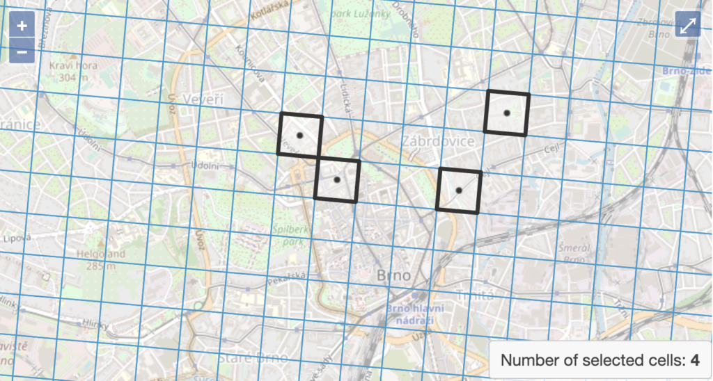
At the Department of Geography of the University of Brno, we developed a simple application Quarantine Map that seeks to capture the basic patterns of individual spatial behavior in the period prior to the COVID-19 outbreak and to compare them with those during the times of emergency measures. So far, we have focused on respondents from the Czech Republic, who provided us with a solid response. Preliminary outputs show that the spatial extent of daily activities during the quarantine is approximately half that of normal situation.

Encouraged by the results so far, we have adapted the application for use by European respondents. It is available at this link:

https://karantena.brnourbangrid.cz/en/

We will be grateful if you decide to share your experience through the application. We hope that the data collected will allow us to understand at least the basic spatial shifts taking place at the scale-level of daily routines.

Leave a Comment

Social media & sharing icons powered by UltimatelySocial
RSS
Follow by Email